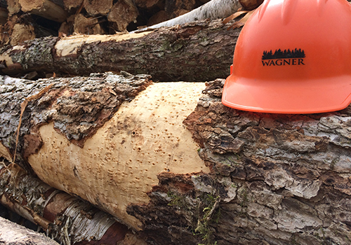
As part of our twin commitments to sound management and continuous improvement
Wagner makes intelligent use of the latest scientific findings and applied technology. We participate in forest-related research efforts with regional experts. We attend professional symposiums and conferences. Our forestry staff integrates spatial information from numerous sources into Geographic Information Systems (GIS), conducts sophisticated timber cruises to generate inventory estimates, employs growth and yield models to project future expectations, and uses linear programming models to determine and evaluate management alternatives.
Wagner fully embraces technology as means of disseminating important management information to our foresters.
While forest management planning requires the development and articulation of centralized goals and strategies, we remain firmly convinced that technology cannot take the place of “boots on the ground” in achieving operational success. Our foresters use GIS and Global Positioning Systems (GPS) extensively: these tools are vital to using and communicating spatial data. We have also developed proprietary systems to facilitate the collection and reporting of data from the field to the forestry staff.
In addition, our foresters and logging contractors work together to figure out ways to apply or adapt existing technology to timber harvesting — improving communication between foresters and contractors, increasing efficiency, and ultimately improving operational results and the bottom line.